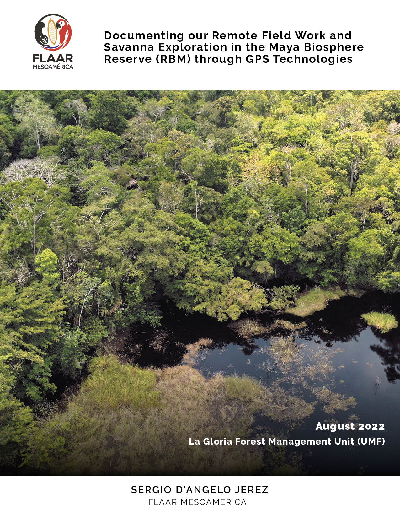
Documenting our Remote Field Work and Savanna Exploration in the Maya Biosphere Reserve (RBM) through GPS Technologies
Take a look on how we use GPS technologies to get to and document remote ecosystems.
Description
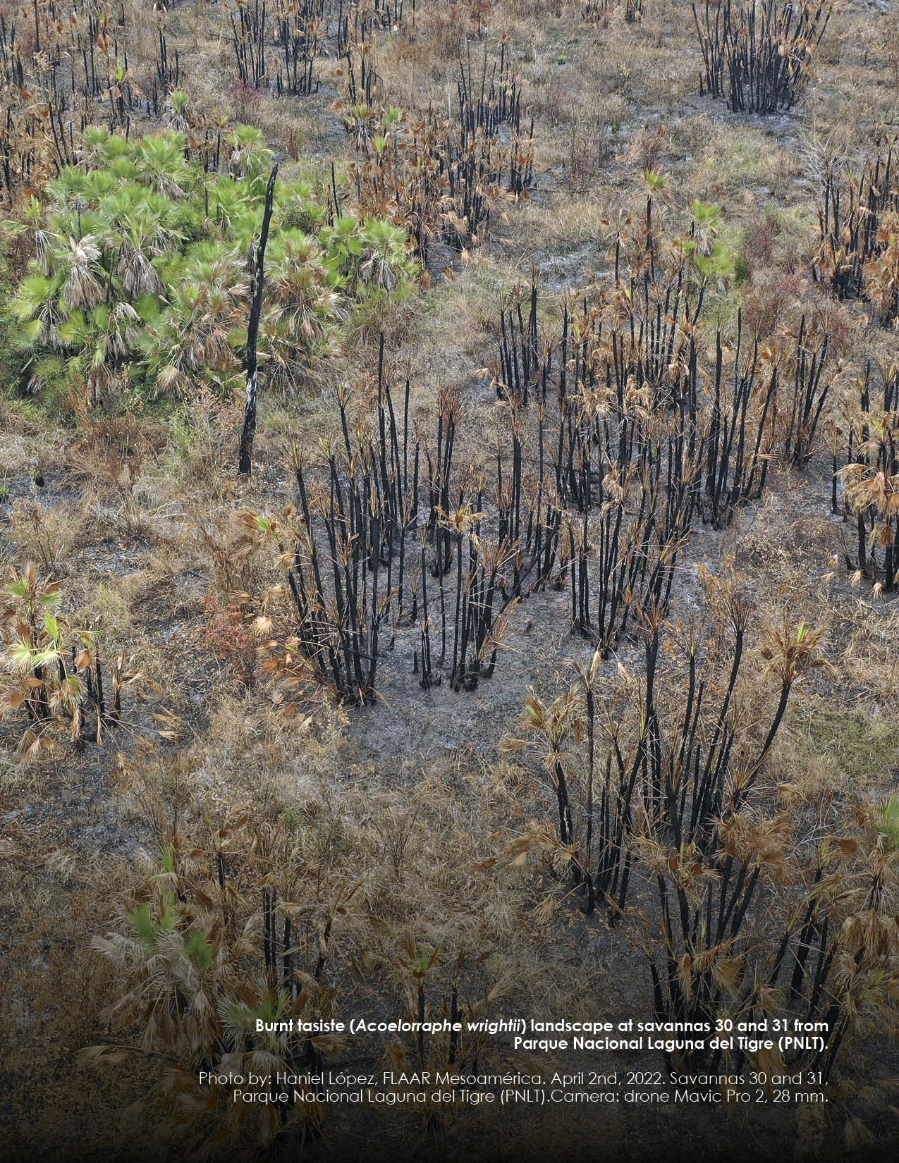
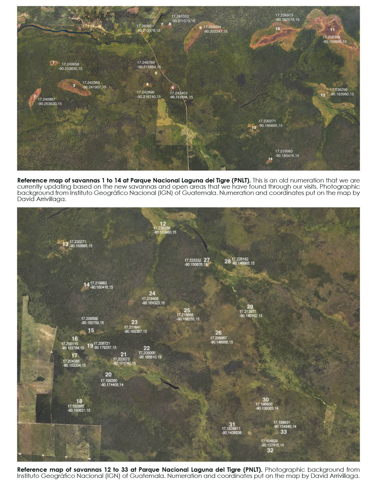
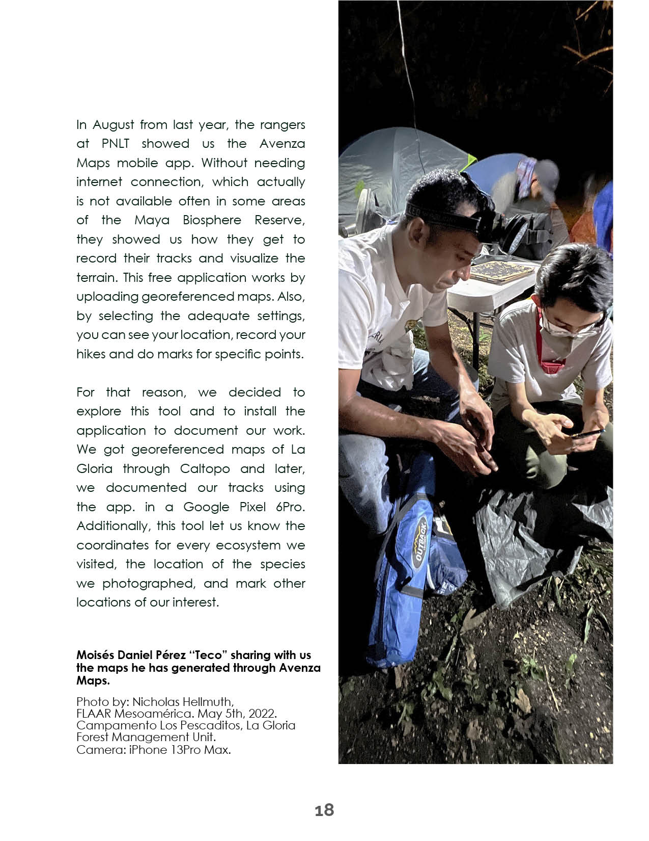
During May of 2022 we were able to explore and document some of the abundant wetland and savanna ecosystems at the Forest Management Unit La Gloria, in the municipality of San José. In this PDF we describe how we have been using both GPS technologies and satellite imagery to conduct our research, as well as to better register the locations we explore. This PDF also describes the process we follow to create our maps and showcases many beautiful photographs of our most exciting findings at La Gloria.
Author:
Sergio D’angelo Jerez
Date:
August 2022
Editors:
Nicholas Hellmuth
Vivian Hurtado.
Photographers:
Nicholas Hellmuth
Edwin Solares
Sergio D. Jerez
Boris Llamas

Reviews
There are no reviews yet.